20 MARCH 2016, 07:33 AM
March 20th, 16
Mississippi Lake to Headquarter
The camp was quite when I left. Everybody was still asleep. I made my way along Willow Ridge enjoying the early morning light and got some interesting pictures of Bear Mountain Peak. Coyote Valley below seemed to be covered with low clouds, which made me glad I camped at the drier Mississippi Lake.
Wildflowers were everywhere including large field of Johnny Jump Ups along the Manzanita Ridge Road.
19 MARCH 2016, 12:23 PM
March 19, 16
Orestimba creek to Mississippi lake
I woke up drenched. The condensation got my slipping bag and tent soaking wet. I hiked till 10 am and then it was warm enough to take everything out to let dry. By then I was already part way into Robinson Creek Trail. The trail was unmaintained and was hard to follow, the last mile or so there is no trail at all. I just walked along the creek until I came to a flag and an arrow pointing to where the trail continued.
The area is wild. Hardly anybody goes there. I thought I was the only person in the Orestimba wilderness today until I saw Jeered. He was walking in the opposite direction and was just as surprised to see me. We exchanged notes, and he told me he also had problem with condensation. I suppose it could be related to the weather.
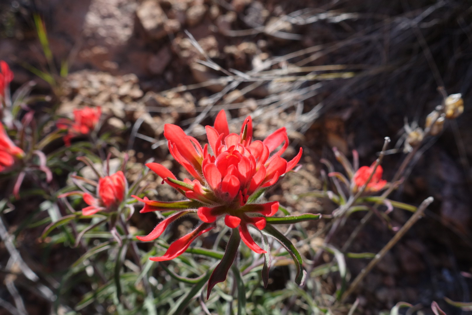
Wildflowers were great. Carpets and carpets of every imaginable color. Most impressive were carpets of larkspur I really like them and never saw so many at one place.
Made it to camp at Mississippi Lake around 5 pm. There were quite a few people here
18 MARCH 2016, 06:31 PM
March 18, 16
Headquarter to Rooster Comb Trail
I had a good conversation with the ranger. He actually encouraged me to go on my original trip to Robinson Creek in the Orestimba.
After leaving the headquarter area I meet 2 girls returning from a 2 day trip to Poverty Flat. They were the last people I saw today.
I stopped and set camp near the place where the Orestimba Road goes through privet property and the Rooster Comb trail starts. I found a nice sandy area near the creek that was great. It was still an hour to sunset. I laid in my camp enough the last light of the day
Thursday, March 10th 2016
We left camp early today. I guess we are both excited to be going home.
I was impressed by the way the erosion cut into the rock at Horn Creek. It is usually a very steep drop right where the water flows, but at Horn Creek it is more gradual.
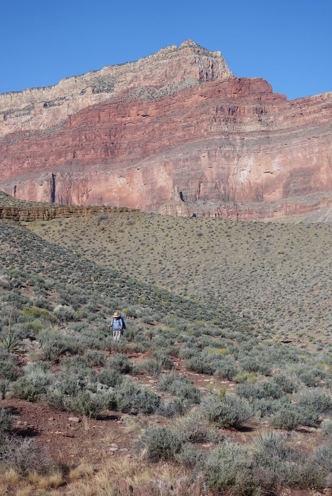
Hiking out, I was at Indians Gardens around 8 am and less then 2 hours later back on the rim of the Grand Canyon
Along the Bright Angle TrailA short tunnel along the Bright Angle Trail
09 MARCH 2016, 04:13 PM
Wednesday, March 9th.
Today was a short day. Kai and I started from Granite Rapids at 8 am, stopped for water at Monument Creek and fill up our bottles. We met a couple on the trail the evening before and they said that the water at Horn Creek is radioactive, so we decided to bring water from Monument Creek. Later we read on the national park permit that the water in Horn Creek only occasionally surpasses the standard for city water, and only when there is heavy flow. It is probably fine for drinking occasionally as when on a backpacking trip.
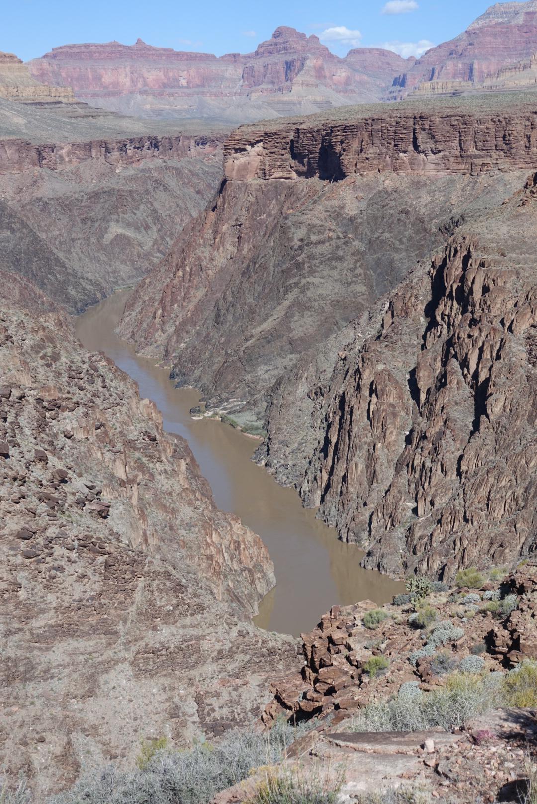
The Tonto Trail continues along the shelf above the Colorado River as we made our way to Horn Creek. Along the way we stopped for water and a rest at Salt Creek and a few breaks for views into the Colorado River. Today in addition to the display of wildflowers, which were more numerous then previous, we also got to see a flotilla of river rafts. They were too far for taking pictures though. We got to camp by 3 pm. Now what to do until dinner time… How about updating my blog. I just wish I had internet connection so it can be updated immediately.
08 MARCH 2016, 03:16 PM
Thursday, March 8th
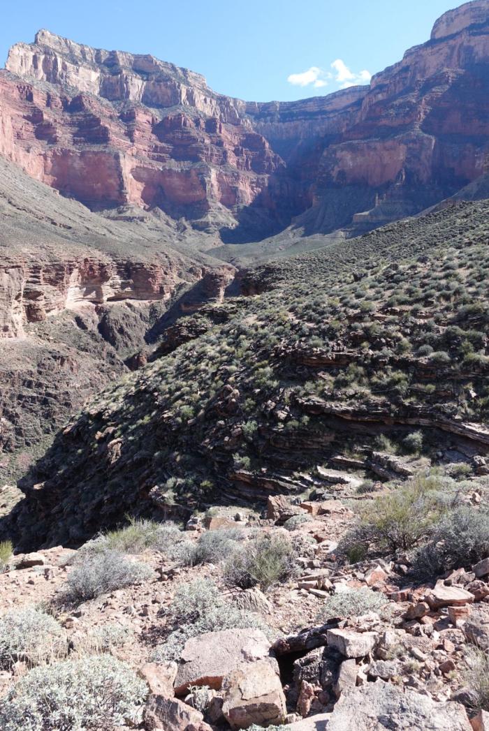
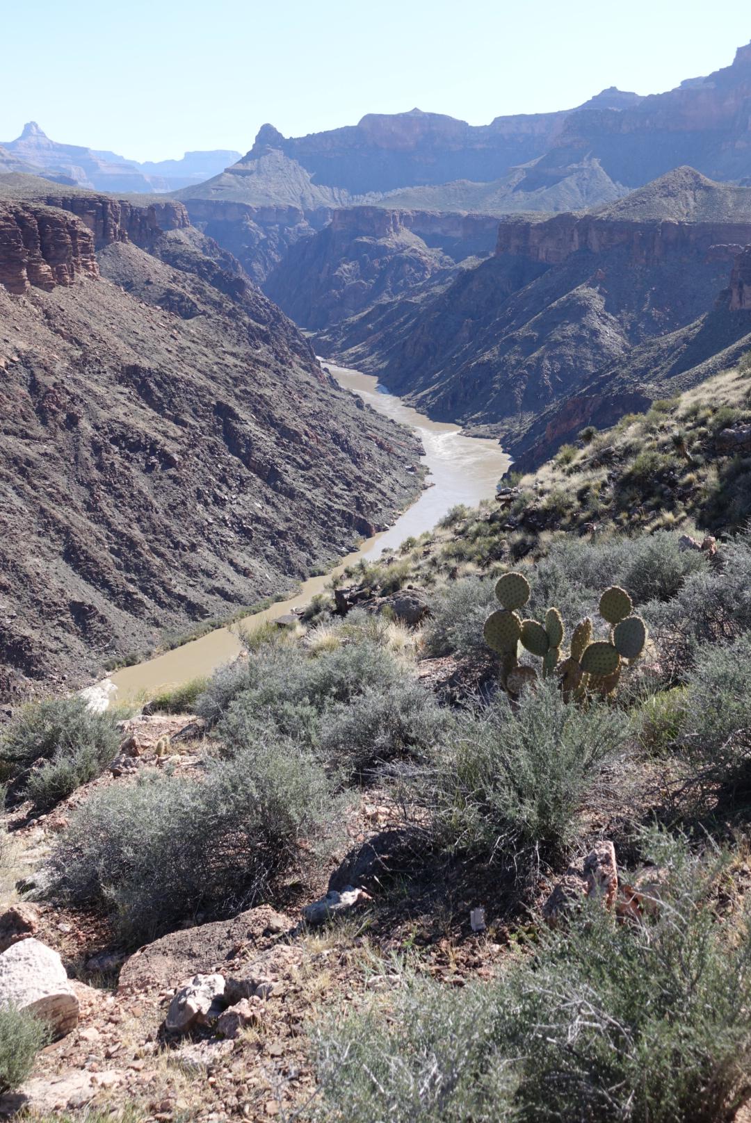
We spent the day cruising the Tonto Trail, descending into creeks along the way – Travertine, Hermit and Monument Creek. In between the trail climbs up on the plateau and hikes closer to the edge, providing amazing vistas into the Colorado River below.
Descending into Monument Creek we couldn’t but be awed by the giant natural rock column that is probably the namesake for this creek.
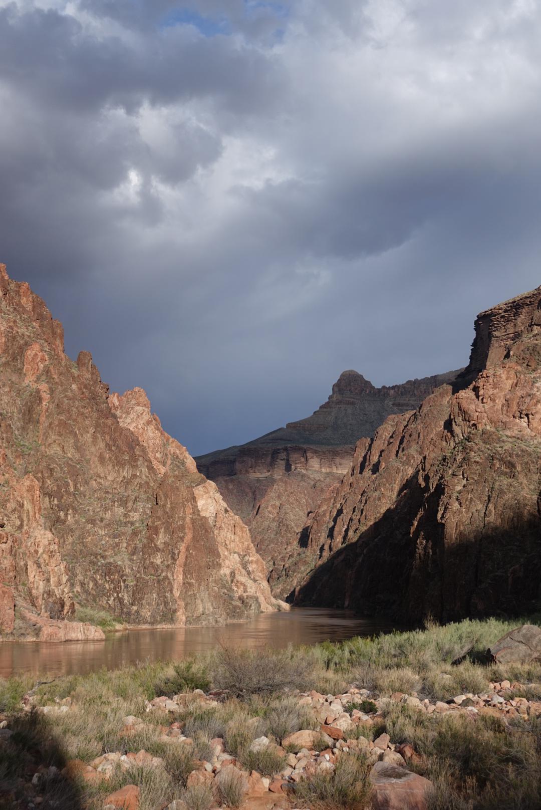
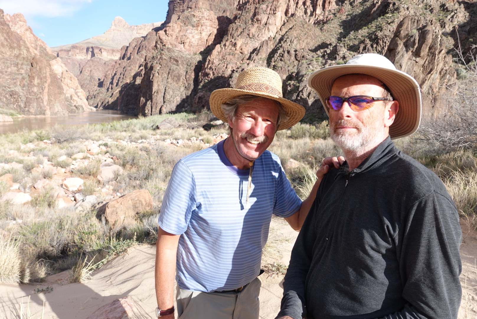
Finally on the beech of the Colorado River at Grand Rapids we enjoyed the warm late afternoon sunlight and the view of this amazing river.
07 MARCH 2016, 07:32 AM
Monday, March 7th
It rained and slit last night at Williams, but not much is left of it by morning. It is cold though, 23 degrees when we left the hotel for breakfast.
The day got warmer as we descended into the canyon, first along the Hermit Trail, then the Dripping Spring Trail, and finally we took the Boucher Trail. The vistas into the Grand Canyon were amazing.
06 MARCH 2016, 03:43 PM
Kai and I started in relatively calm weather in the bay area. It rained the night before, but now the storm has past to the east. As we were on our way east on H/W 40, we caught the tail end of the storm again, just as we enter Arizona. As we drove east, we progressed ahead of the storm and now that we stopped for the night in Williams AZ, we are waiting for it to hit us again. Third time’s a charm.
It took a couple of hours for the storm to catch up with us. When it did, it was more snow then rain.


